Vancouver Police Department: Esri programs that police use
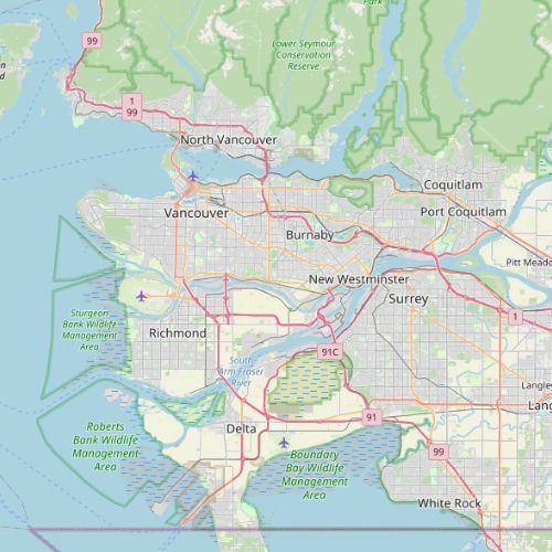
Vancouver is a standard case of a police-Esri contract that offers insights into the kinds of police units that are using Esri programs and the specific programs they are using.
Population
0
Police Officers
0
Police Budget (2023-24)
$
2014-2024
Contract Years
9
# of Police Esri Users
redacted
Annual Contract Amount
The Vancouver Police Department (VPD) has used a variety of Esri programs, notably ArcGIS Dashboards and StoryMaps to complete a digital transformation of its Compstat system. From 2013-2023 the VPD prepared Enterprise License Agreement Annual Deployment reports that contain details about the policy units that use Esri programs. From the VPD’s 2022-2023 report we learned that they have 5 “Advanced GIS Professionals”, 9 “Standard GIS Professionals”, and 10 “Web GIS” users.
The reports include lists of Esri and the police units that use them. Here is a look at the number of users across several VPD units that are using the program ArcGIS 3D Analyst from 2013-2023.
This is a standard case of a police-Esri contract that offers details on the programs that police use. Annual License Deployment reporting like this is useful because it provides insight into the kinds of the police units that are using Esri programs, and the types of programs they are using. In Vancouver’s case, we can see that it is primary analysts using ArcGIS at VPD. However, in late 2024 Esri Canada announced that they had helped VPD to develop GeoDash, an app for field officers that utilizes ArcGIS technology.