
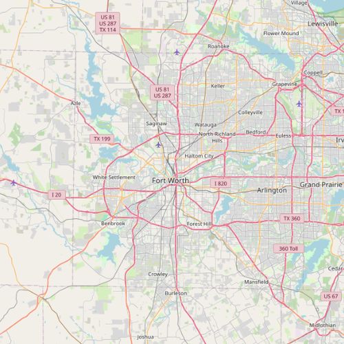
Fort Worth
Police Department Surveillance and Crime Analysis Tech
Population
0
Police Officers
0
Police Budget (2021)
$
2021-2022
Contract Years
24
# of Police Esri Users
$169,6000
Annual Contract Amount (2021-22)
The City of Fort Worth’s License Agreement with Esri covers the Fort Worth Police Department (FWPD). As of 2024, FWPD held 23 ArcGIS Pro and 24 ArcGIS Online user accounts. This is an increase from 8 user accounts in 2022. We believe that these numbers indicate use by FWPD crime analysts and possibly department leadership, rather than officers.
The FWPD case showcases how police departments subscribe to other technologies for crime analysis and surveillance too, many of which explicitly require Esri ArcGIS in their contracts.
These include:
- Omega Group (2013-2014) which provided CrimeView software. CrimeView is a now-obsolete extension for Esri products developed by the Omega Group to map reported crimes. By the early 2000s, crime mapping had become part and parcel with many CompStat systems, and CrimeView was a popular product. The Omega Group contract with FWPD included training, deployment, maintenance, and GIS support.
- LexisNexis Risk Solutions (2017), for the BAIR Analytics automated crime analysis and predictive policing software ATAC and ATACRAIDS, as well as Accurint, a database of public records and personal information.
- Motorola (2019) which provided their CommandCentral Aware tool for situational awareness, that will “unif[y] all of [their] real-time data and video streams.” The contract with Motorola required FWPD to subscribe to ArcGIS Pro or ArcGIS Online.
- Flock Group Inc. (2019) which provides infrastructure and technology that uses a mix of Esri and Computer Assisted Design software for license plate recognition, audio detection, and geocoding.
Read the next case study
Saint Paul Police Department: Deciding on Esri