
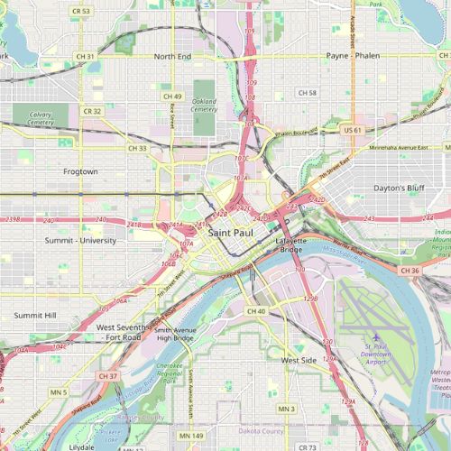
Saint Paul
2021
Contract Years
34
# of Police Esri Users
$88,609
Annual Contract Amount (2021-22)
For over a decade, Saint Paul Police Department (SPPD) used a program called CrimeGIS, provided by the company GIS Solutions. This program allowed for the sharing of crime data within the SPPD through interactive maps. By the late 2010s, GIS Solutions no longer supported CrimeGIS, and SPPD needed to decide how to move forward. They decided to upgrade to ArcGIS Pro and go deeper with Esri.
In the decision making documents, SPPD cited Esri’s tools for creating and publishing maps and its “crime prediction tools” as reasons to do more with Esri (Decision Doc at p. 2). SPPD wanted to “take advantage of the tool and map layers already created for use within Police departments.” (Decision Doc at p. 2). By 2019, Esri had a well-developed suite of tools and trainings for law enforcement, and was in the process of developing out of the box Solutions.
Read the next case study
San Diego Police Department: Heavy usage of the City’s ever-growing Esri contract